
How to form a reviewable record of cross-regional inspection images
It is easy to accumulate long-term videos during cross-regional inspections, but it is still difficult to answer what changes occurred in the same place last time.
It is easy to accumulate long-term videos during cross-regional inspections, but it is still difficult to answer what changes occurred in the same place last time. The problem usually lies in the inconsistent point number, shooting direction and abnormal status. Before starting the task, the route should be divided into identifiable sections, numbers should be set for each must-check point, and how to save panoramic, partial and abnormal screenshots respectively should be agreed upon.
With a maximum payload of 15 kg and a maximum endurance of 600 minutes, the YH-2000 can be used to plan the equipment and flight segments required for wide-area image collection. The load determines whether the camera and communication equipment can be configured, and the flight endurance helps arrange continuous observation, but the actual load time needs to be determined based on the target combination. If a route requires multiple flights, it should be ensured that different flights use the same set of points and file names.
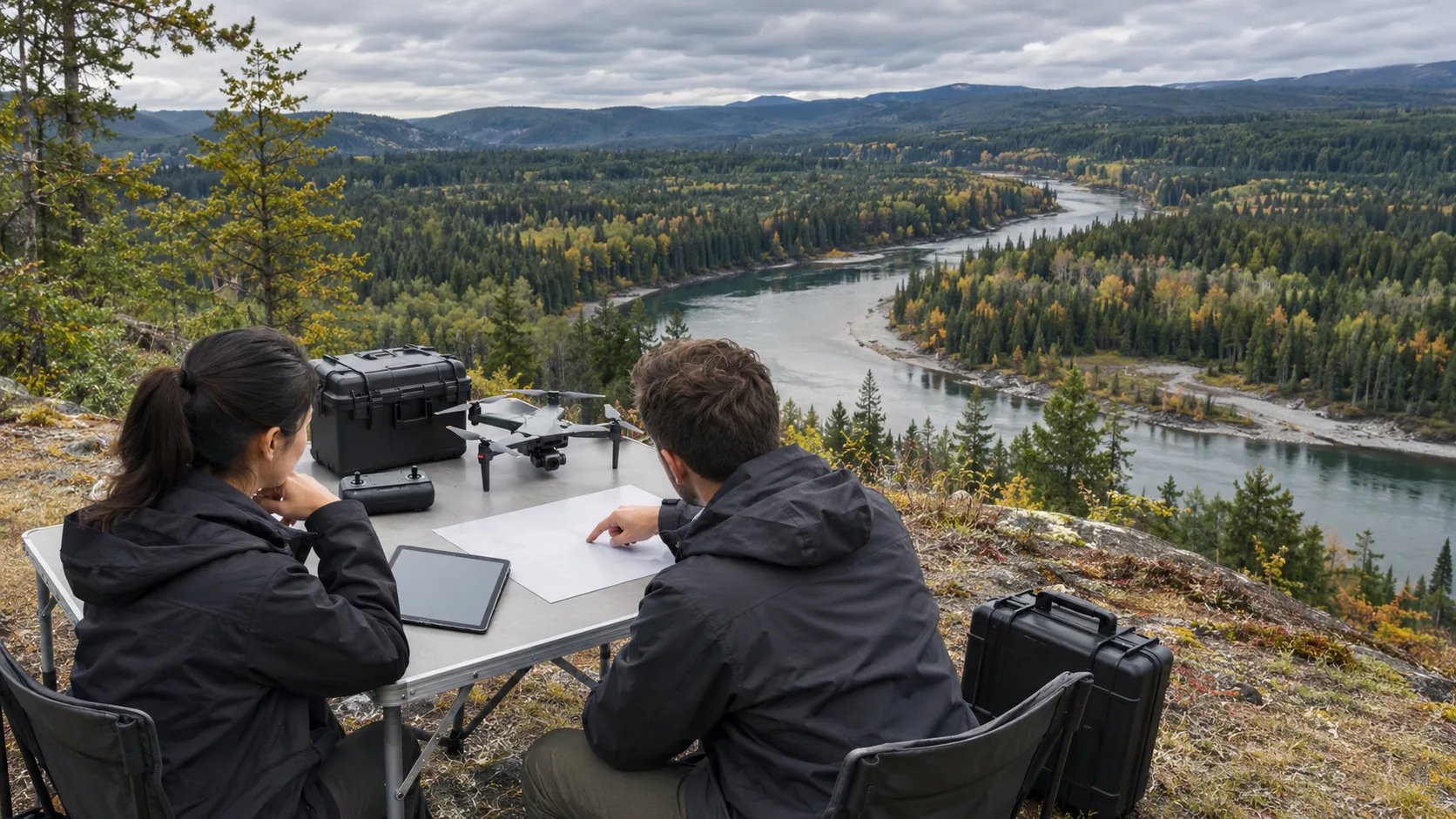
A record that can be given to the ground team indicating the time, location, direction and problems discovered. For suspected anomalies, it is best to provide a panoramic view of the area and a clear part of the area at the same time, so that the review personnel know which section of the line it is located on. If the angle or lighting of the two images is obviously different, this should be noted in the record to avoid mistaking differences in shadows, seasonal colors and shooting heights for changes in facilities.
Image handover cannot stop at uploading files. The operator marks the phenomenon discovered, the professional determines whether it constitutes a problem, and the on-site person in charge records the verification results and completion time. Points that cannot be clearly seen should be left unconfirmed, and re-shooting or ground inspection should be arranged; unobserved areas cannot be counted as excluded just because the route has been flown.
For continuous use, a set of high-frequency problems can be piloted first, such as bank changes, road obstructions, and cosmetic damage. After several rounds of missions, check which scenes really help the verification, then delete useless shots and optimize the route. YH-2000 can provide a wide range of collection capabilities, and whether the data can be reviewed depends on whether the shooting rules, point correspondence and processing status are consistent.