Large-scale border and river inspection plan
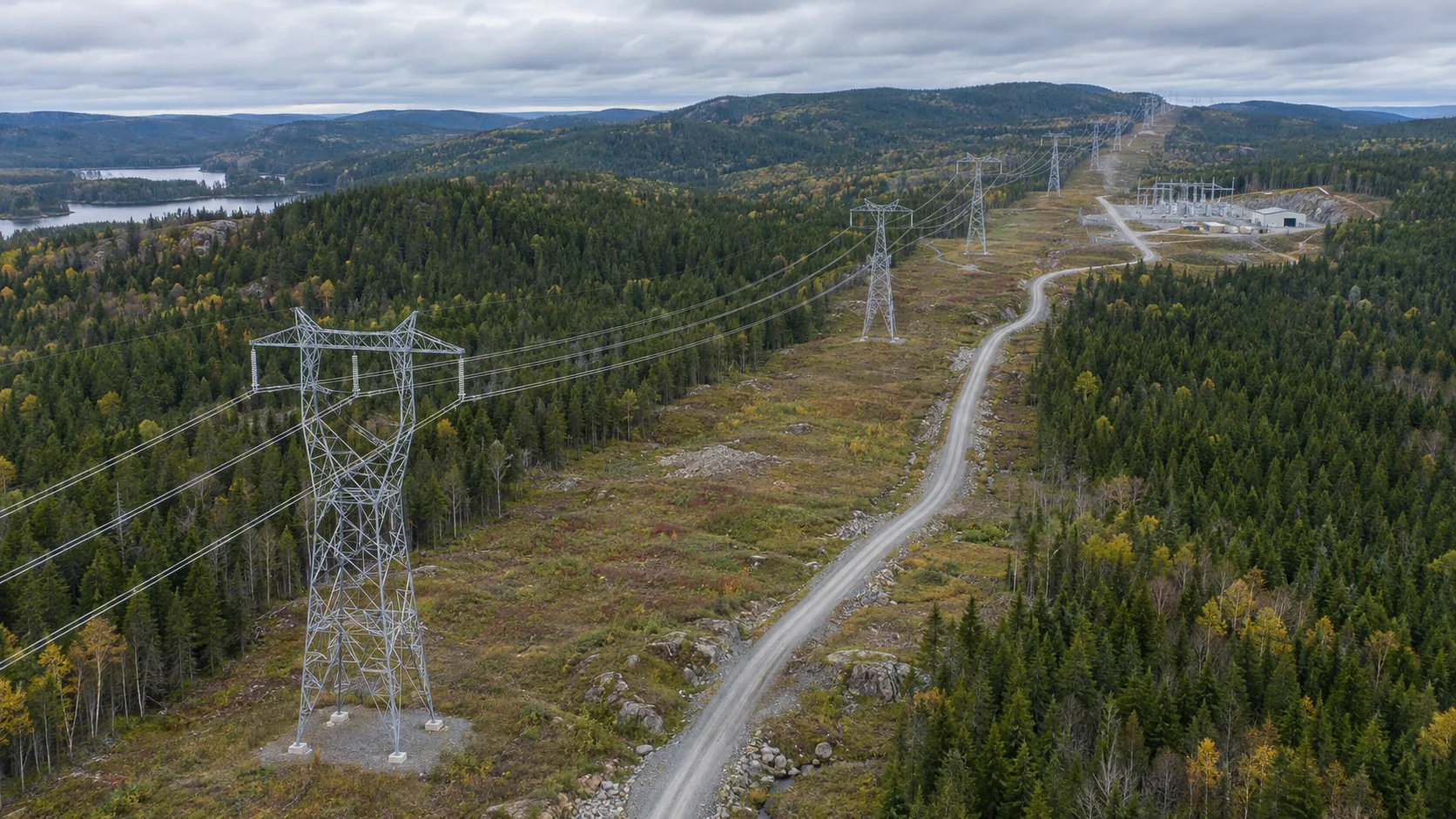
Inspections of borders, rivers and forest areas often span a large area, and the points are far apart, making it difficult for ground personnel to complete inspections at the same time.
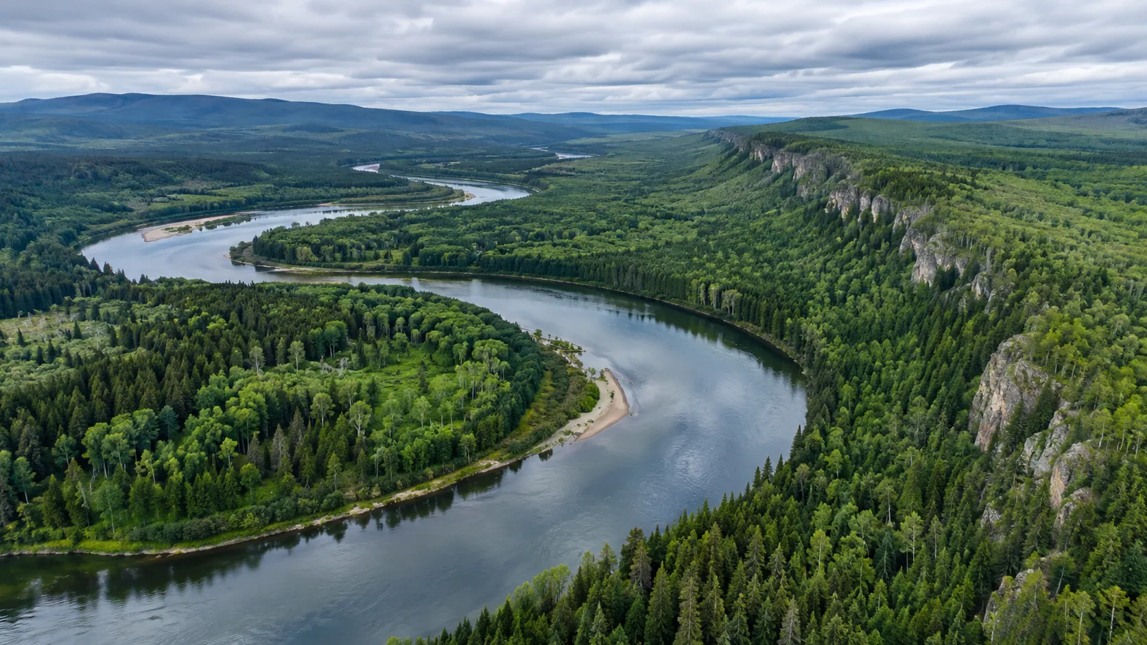
Scene illustrationStarting from the task, choose the platform.
Focus on on-site problems during inspection, rescue and post-disaster reconnaissance, and view the task paths and corresponding platforms.
Inspections of borders, rivers and forest areas often span a large area, and the points are far apart, making it difficult for ground personnel to complete inspections at the same time.
Scene illustrationInspection of roads, pipelines and dispersed sites often faces problems such as long lines, large differences in sections, and difficulty in handover at abnormal locations.
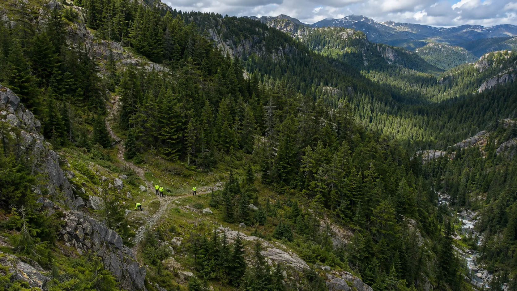
Scene illustrationMountain search and rescue begins by putting the last known location, roads, terrain and investigated areas on a common map.
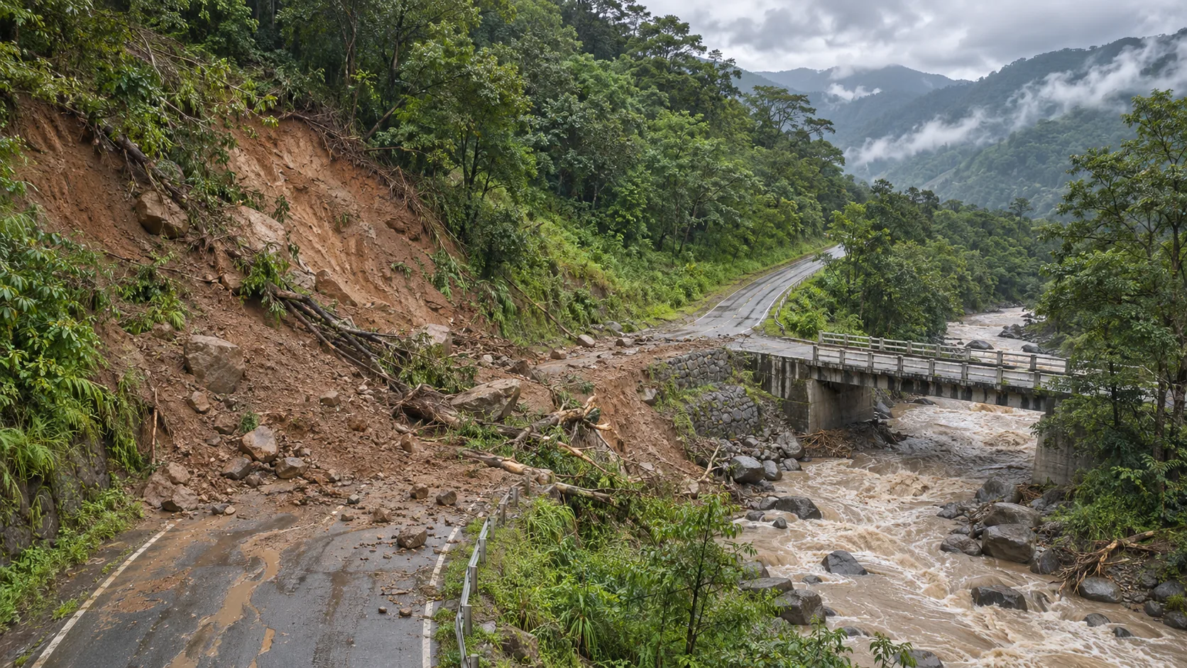
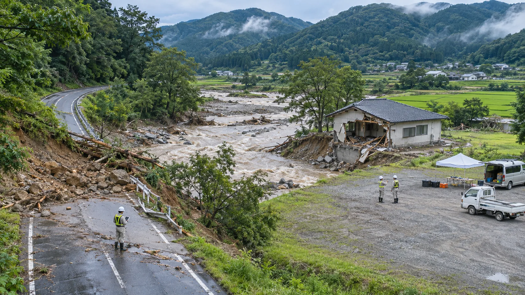
Scene illustrationAfter a heavy rain, landslide or fire, the site needs to know as soon as possible whether the road is passable, whether bridges, culverts and slopes are damaged, and which areas are still at risk of water accumulation or rockfall.
Scene illustrationThere may be multiple locations at the rescue site that need to be revisited at the same time: a blocked road, a building facade, an area that is not directly accessible from the ground.
Scene illustrationRoads, tree lines and personnel gathering locations around forest fires may change depending on on-site conditions.
Scene illustrationPost-earthquake temporary resettlement areas require ongoing awareness of the status of access roads, open space usage, and nearby facilities.
Scene illustration