
Why do flood rescue images need to be marked with update time?
Flood scene information quickly becomes outdated.
Flood scene information quickly becomes outdated. A road that is still passable in the morning may be blocked due to changes in water levels in the afternoon; a trapped point may have been handled by ground teams. For aerial imagery to be used for collaboration, those taking over must know when and where it was taken, and what conclusions were later verified. The update time should appear together with the point status.
YH-2000 has a maximum load of 15 kg and a maximum flight endurance of 600 minutes, and can be used for continuous observation of a regional range. The YH-3000 multi-rotor can supplement key point images near a suitable site; it takes about 30 minutes with a 30 kg load, about 18 minutes with a 60 kg load, and about 55 minutes without a load. The actual load is different, and the window for close-range re-viewing is also different. The mission arrangement must leave a margin for return.
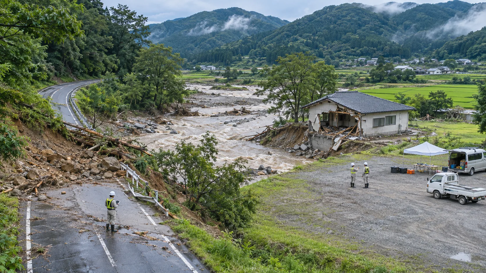
After each round of flight, the new images are first mapped to the point numbers on the area map, and then the water boundaries, suspected obstacles and unobserved areas are updated. Bridges, culverts or intersections that are not clearly visible in the screen remain to be verified, and the current status will not be inferred based on old screenshots. If ground personnel reports are different from aerial images, both types of information and their respective times should be retained in the point record.
The same set of numbers is used for wide-area and local images. It can be seen when a certain problem was discovered, when additional shots were taken, and when it was verified by the ground. For points that still need to be processed, record the person responsible and the next action; the source of confirmation should also be indicated for resolved problems. In this way, the rotation team will not be dispatched repeatedly or miss important positions due to scattered data.
Area maps released to field personnel should clearly indicate when they were last updated and include how to retrieve the original imagery. YH-2000 provides range information, YH-3000 adds local details, and time stamps allow both information to be used on the same chart. Rescue judgments are still based on the latest and verifiable on-site information.