
How to allocate wide-area and short-range tasks in mountain search and rescue
Information in mountainous search and rescue changes quickly, and search boundaries, team locations, and road conditions may all change after one mission.
Information in mountainous search and rescue changes quickly, and search boundaries, team locations, and road conditions may all change after one mission. Aerial observation should be divided into two categories: wide-area and close-range: first determine which areas have been covered and which areas are still blocked by mountains and trees, and then conduct partial review of valuable clues. The two types of tasks share the same search state diagram to prevent each team from repeatedly searching but missing blank areas.
YH-2000 is a vertical take-off and landing composite wing with a maximum load of 15 kg and a maximum endurance of 600 minutes. It can be used to evaluate continuous observation over a large range. YH-3000 is a multi-rotor that can undertake short-distance review near suitable take-off and landing points; its 30 kg load time is about 30 minutes, 60 kg load time is about 18 minutes, and no-load time is about 55 minutes. For close range tasks the window should be calculated based on actual equipment weight.
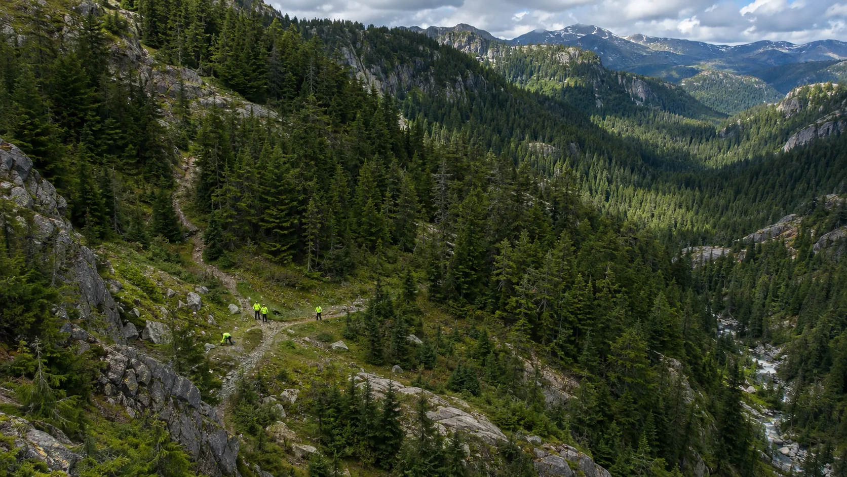
After suspected clues are found in wide-area imaging, the original files, shooting time, location and direction should be retained first, and then the person in charge of the scene will decide whether to arrange YH-3000 re-shooting or send a ground team to verify. Partial review only addresses clear questions, such as whether the road is accessible and whether there are obstacles around the target. Areas that cannot be clearly seen should be written as pending verification rather than excluded.
Equipment adaptation also affects division of labor. Whether YH-2000 can carry the target camera depends on the weight, interface, power supply and return transmission; the mission time of YH-3000 will vary with the load. If you plan to add communication relays on site, you will also need to independently design modules and network backhaul. Platform parameters provide boundaries for the solution, and the actual search effect still needs to be verified under target configuration and field conditions.
After each flight, the map and clue table should be updated to indicate the three states of confirmation, exclusion, and continued search. Let there be a clear handover between wide-area coverage and local review so that ground personnel know where to go next. The value of drones lies in shortening the time to obtain information and retaining traceable images. They cannot replace on-site personnel in making final judgments.