
How to separately calculate links and flight times during station inspections in mountainous areas
During station inspections in mountainous areas, flight time, range and control range are often put on the same table, but they must be checked separately during planning.
During station inspections in mountainous areas, flight time, range and control range are often put on the same table, but they must be checked separately during planning. How long the flight can last determines how many observation points can be arranged; whether the control link can be returned stably determines whether images and instructions are available; terrain occlusion will also change the actual performance of both. The mission map should first mark each station, take-off and landing point and communication weak area.
The YH-2000 has a maximum endurance of 600 minutes, a maximum payload of 15 kg, and a control radius that can be customized from 50 to 100 km. Endurance and load are parameters under different conditions, and the control radius is not equal to the length of the inspection route that can be completed. After selecting the observation equipment, you should confirm the loading time, image clarity and return transmission effect under the target configuration, and then decide how to split the flight segments.
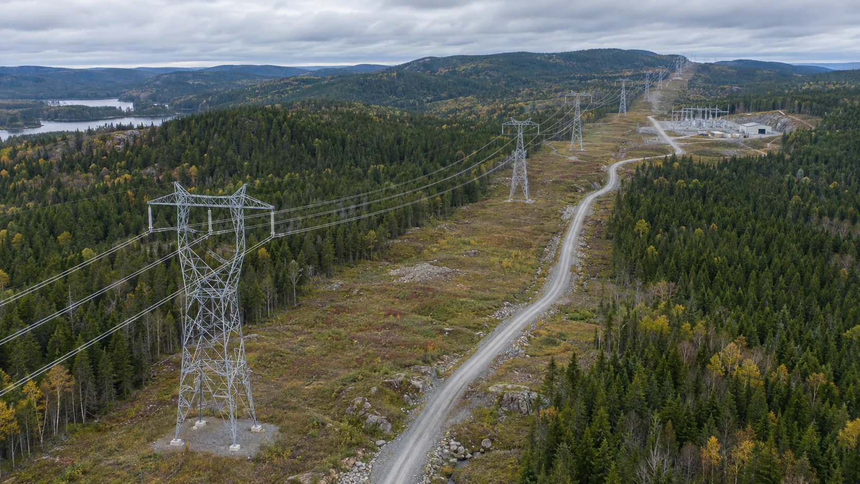
A mountainous route can be divided into three types of points: station overview, roads and key facilities. The overall picture helps positioning, and the partial picture is used to show the details that need to be reviewed. If valleys or buildings block the view, the result map should clearly mark the unobserved location; if the return transmission is unstable, reschedule the collection according to the confirmed data, and do not count unreceived images as valid records.
During the trial phase, the actual shooting time, target equipment weight, return margin and return status of each segment were recorded. The results of different weather and task configurations are saved separately to avoid using a certain light load condition to extrapolate all working days. The on-site person in charge arranges the frequency of repeat flights based on the trial data, and updates the mission map after road construction or site changes.
The final acceptance not only depends on how far a flight covers, but also whether key points can be captured clearly, whether images can be found, and whether abnormalities can be handed over to ground personnel. Only by calculating the link, flight time and load separately can the YH-2000 parameters be transformed into a reliable mountainous inspection plan, which will also facilitate subsequent comparison of execution results according to the same rules.