
How does post-disaster reconnaissance move from finding clues to ground verification?
What is most needed for post-disaster reconnaissance is information that can be located and handed over.
What is most needed for post-disaster reconnaissance is information that can be located and handed over. Aerial images may show that a section of road is suspected to be blocked and a slope has changed, but the image itself cannot replace ground surveys. The task should first mark the access roads, bridges and culverts, slopes and safe take-off and landing locations on the regional map, and then arrange the shooting sequence according to the questions that the rescuers need to answer most urgently.
The YH-2000 has a maximum payload of 15 kg and a maximum endurance of 600 minutes. It can be used as an optional platform for observation of larger areas. YH-3000 is responsible for supplementing the local picture near the suitable site. Its loading time varies with the weight: about 30 minutes for a 30 kg load and about 18 minutes for a 60 kg load. Both models must confirm their mission capabilities based on actual camera, power supply, communications and site conditions.
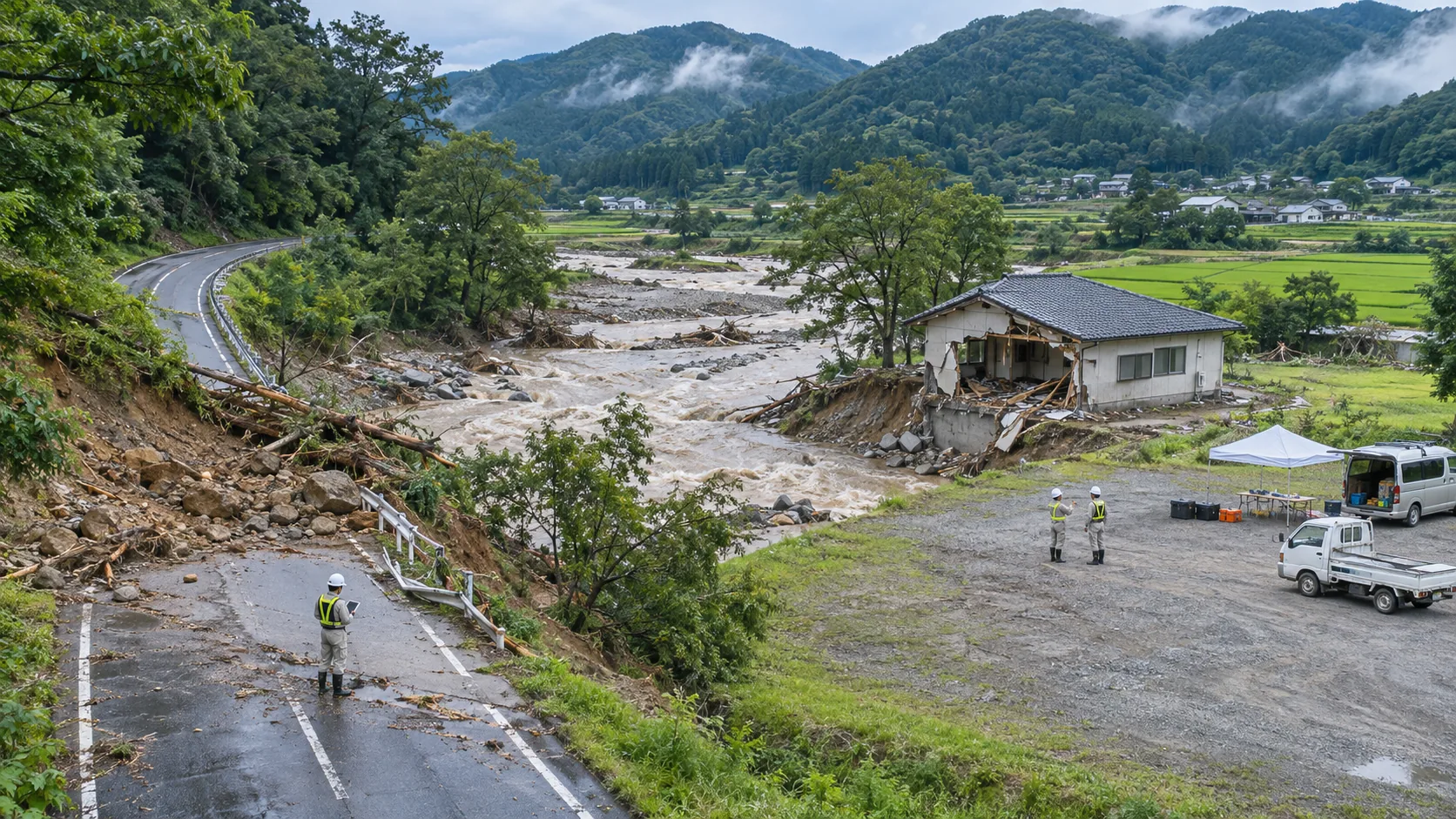
When a suspected abnormality is discovered, save the original image and screenshot first, and then attach the time, coordinates, direction and brief description of the phenomenon. If only superficial changes are seen, the report should be written for verification on the ground; if the areas under bridges, behind trees or on the back of mountains are not photographed, the unobserved areas should also be clearly marked. In this way, the team taking over can know which areas need to be reviewed and which conclusions have not yet been established.
Wide-area discovery and close-range review use the same point numbers. YH-2000 provides regional background, and YH-3000 adds details to key locations; if the image accuracy is still insufficient, adjust the shooting conditions or hand it over to ground personnel for verification. After the review results are written back to the point table, the status can be changed to confirmation, elimination or continued observation to avoid repeated transmission of the same problem between different teams.
Final delivery area map, point table, original images and update time. When publishing to the outside world, you should distinguish between verified information and clues that have yet to be confirmed, and do not write the demonstration plan as a real rescue case. The focus of the reconnaissance process organized by YH-2000 and YH-3000 is to enable aerial discovery to be connected to ground judgment, helping the scene to arrange the next action more quickly.