
What information must be handed over when the two platforms collaborate?
When wide-area observation and local review are completed on different platforms, what is most easily lost is the background of the problem.
When wide-area observation and local review are completed on different platforms, what is most easily lost is the background of the problem. The first sortie saw suspected changes, but the second sortie did not know the specific location, direction of observation, and details of the desired reshoots. As a result, an unusable video may be captured. Before handing over, write each question into a clear task, rather than just sending a screenshot.
The YH-2000 has a maximum load of 15 kg and a maximum endurance of 600 minutes, and can undertake a large range of information collection; the YH-3000 is responsible for local points suitable for close observation, with a load of 30 kg for about 30 minutes and a load of 60 kg for about 18 minutes. The mission time of both platforms needs to be determined based on actual equipment and site conditions. Only by clear division of labor between wide area and short range can we avoid repeated flights.
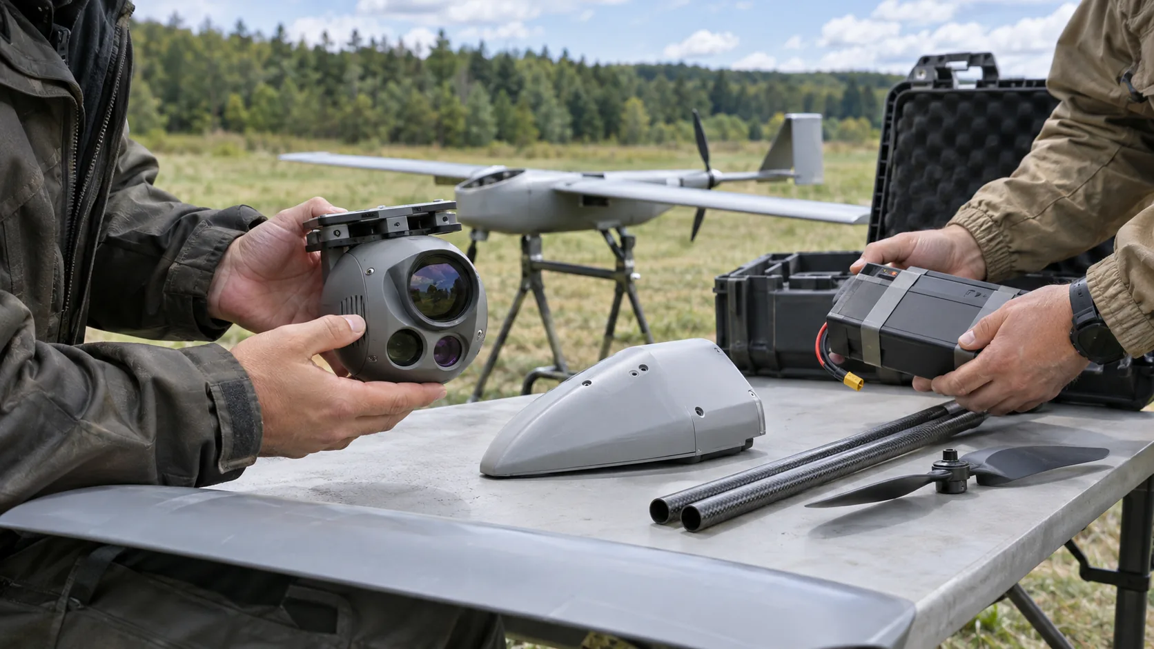
An executable handover list should include point numbers, coordinates, discovery time, original images, suspected phenomena and reasons for failure to see clearly. Close-range tasks also specify what type of picture needs to be supplemented, such as the relative position of the target and the road, or the visible range behind the obstacle. In this way, the receiver can directly determine from which direction to look.
After the image is returned, the person in charge of the scene will modify the status based on the screen and ground information: confirm, exclude or continue observation. If the second sortie still cannot be seen clearly, record the restrictions and do not regard the unconfirmed results as mission completion. Different teams use the same point list and time stamps, so that follow-up personnel know how the clues were formed and whether someone has checked them.
The final delivery area map, point table, correspondence between panoramic and partial images, and the latest review status. YH-2000 provides regional background, and YH-3000 adds local details; the quality of handover determines whether these pictures can enter on-site decision-making. Writing complete information will help shorten the time between discovery and verification rather than increasing the number of flights alone.