
Why is it necessary to establish an image baseline for YH-2000 repeat flight inspection?
The difficulty with periodic inspections is comparison.
The difficulty with periodic inspections is comparison. On the same slope, road or construction site, if the height, angle and time of day are too different from last month's picture, it will be difficult to determine whether the change comes from the scene or from the shooting conditions. The first mission should establish an image baseline, number each key point, and record the observation direction, range, and collection time.
YH-2000 has a maximum payload of 15 kg and a maximum endurance of 600 minutes, providing platform options for larger-scale repeat-flight image collection. The load is used to screen cameras and communication equipment, and the flight endurance is used to arrange the number of points that need to be covered; these two parameters are not guaranteed to be achieved at the same time when fully loaded. After the target configuration is determined, the loading time and picture effects need to be verified before a stable repeat-flight plan can be formulated.
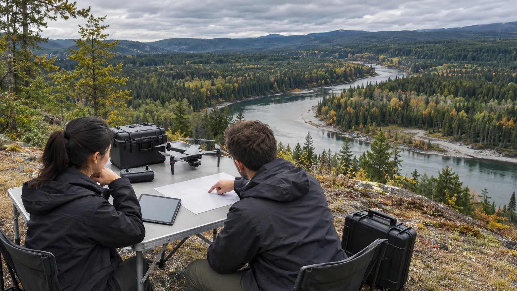
Baseline imagery should include a broad view that allows the location to be clearly seen, as well as a partial view that enables review of specific issues. Try to use the same points and naming rules for subsequent shooting; if construction, weather or on-site restrictions cause the route to change, record the reasons for the change. When comparing, first check the angle, lighting and vegetation status of the two images, and then discuss whether the anomaly actually exists.
After discovering a suspected change, the operator marks the time, coordinates, image number and brief description, and professionals are responsible for determining whether on-site verification is needed. Places that cannot be clearly seen remain unconfirmed, and all points are not considered to have been observed just because the route covers the map area. The ground review results are then written back to the same record to form a starting point available for the next round.
The image baseline transforms inspection results from a single aerial shot into continuous data. It helps the team know which locations have been photographed and which issues need to be re-examined, and also reduces the time it takes for different teams to repeatedly explain the images. The payload and flight endurance of the YH-2000 determine the acquisition capability, and the long-term value depends on whether the images are saved and used according to the same rules.