
Large-scale border and river inspection plan
Inspections of borders, rivers and forest areas often span a large area, and the points are far apart, making it difficult for ground personnel to complete inspections at the same time.
Inspections of borders, rivers and forest areas often span a large area, and the points are far apart, making it difficult for ground personnel to complete inspections at the same time. The plan is to first draw the inspection boundaries, key river sections, suspected risk points and available take-off and landing locations on a task map, and then determine which images need to be obtained in each round.
YH-2000 adopts a vertical take-off and landing composite wing layout, with a maximum load of 15 kg and a maximum endurance of 600 minutes. Inspection selection should first use load boundaries to determine cameras and communication equipment, and then use endurance indicators to evaluate the number of flight segments and coverage rhythm. The two maximum values are independent parameters. The actual load operation time must be verified based on equipment weight, fuel, weather and route. The maximum endurance cannot be directly written as the mission result.
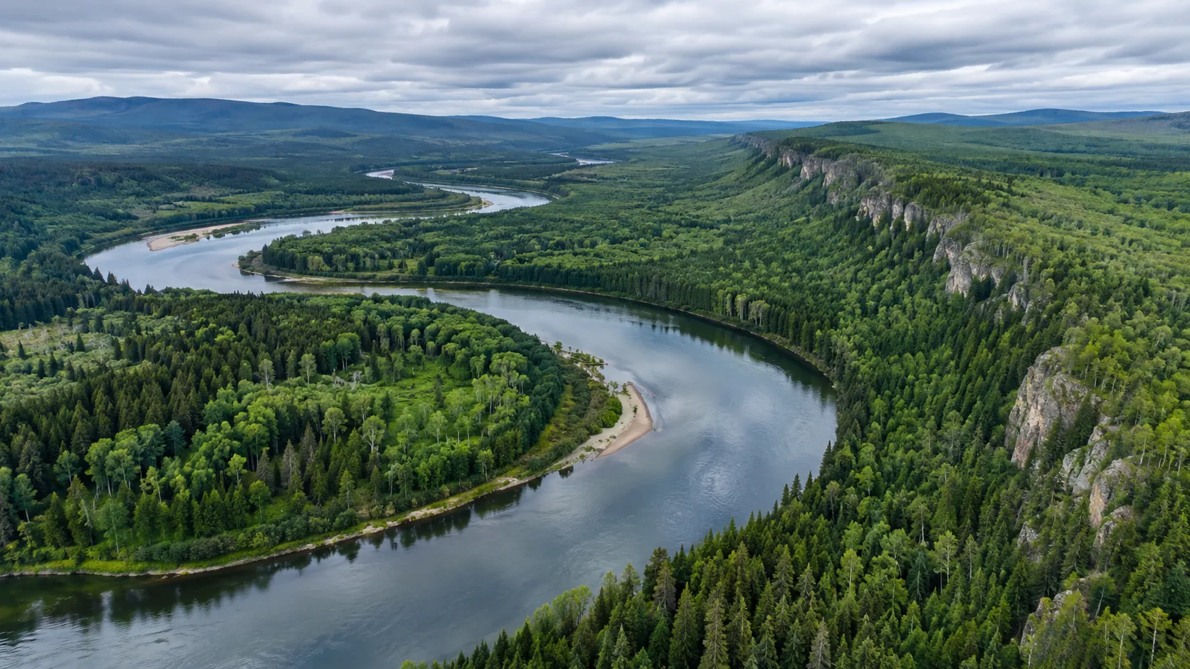
During implementation, the area can be divided into regular inspection zones and key review points. Regular routes retain similar heights, shooting directions and time periods to facilitate comparison of changes in riverbanks, boundary facilities or emerging obstacles; clearer local images are arranged at key points. If the forest canopy, mountains or buildings block the view, it should be marked as an unobserved area on the result map and handed over to the next flight or ground personnel for review.
Each key image should retain the time, location and shooting direction, and correspond to the point number on the mission map. When a suspected anomaly is discovered, the phenomenon and evidence should be recorded first, and the aerial footage should not be written directly into a confirmed conclusion. The on-site person in charge can decide to take additional photos, send personnel to check, or continue observation based on the exception list, and backfill the disposal status into the same table.
The delivery content includes coverage maps, key point images, suspected anomaly lists, and manual review records. Only by using the same numbering and classification rules for the next round of inspections can we see whether the problem is new, expanded, or has been resolved. The value of YH-2000 in such missions comes from the payload and endurance supporting a large range of continuous observations, and also from the fact that the results can be continuously used by the ground team.