
Phased inspection plan for large construction projects
On large construction projects, site layouts continue to change from earthworks to facility installation.
On large construction projects, site layouts continue to change from earthworks to facility installation. The focus of aerial inspections is to allow comparison of images at different stages: which work surfaces have been completed, whether temporary roads have been rerouted, and whether material storage areas have been moved. The plan first determines the project boundaries, key work areas and fixed shooting points, and then arranges repeat flights according to the construction rhythm to avoid leaving a large number of images with different angles every time.
YH-2000 adopts a vertical take-off and landing composite wing layout, with a maximum load of 15 kg and a maximum endurance of 600 minutes. It can be used as a platform option for large-scale construction site inspections. When choosing a camera, first check the weight, power supply and mounting interface, and then use the target configuration to calculate the effective shooting time. The maximum load and maximum endurance respectively describe the boundaries of the platform and cannot be directly understood to mean that it can still work continuously for 600 minutes at full load.
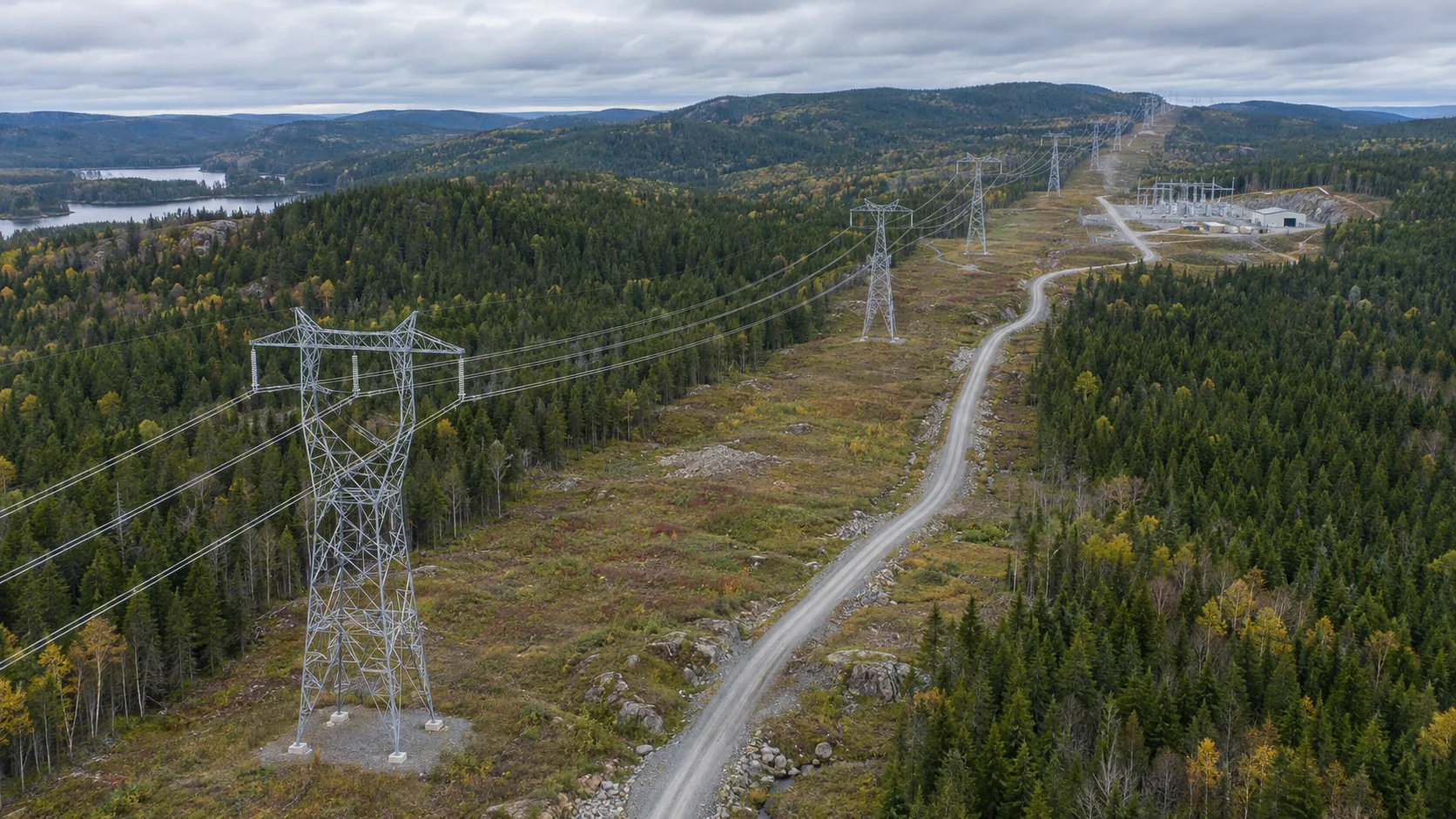
The first flight should establish an image baseline and fix the number, observation direction and shooting height of each work area. For subsequent tasks, priority will be given to reshooting in the same order, and local details will be added if necessary. For suspected problems such as changes in enclosures, water accumulation, or blocked roads, record the location and time and submit them to on-site management personnel for verification. Images can prompt changes, but they cannot replace project quality or safety acceptance.
If on-site construction changes the take-off and landing conditions and flyable range, the mission map should be updated simultaneously. Camera angle, lighting, and weather will also affect the comparability of the two episodes; check these conditions before comparing and discuss whether real changes have occurred. Each team uses consistent file naming and problem status to prevent images from being scattered in different devices and unable to be reviewed.
The deliverables include phase coverage maps, fixed point comparison images, a list of issues to be verified and review records. Managers can view the change trajectory by work area and adjust points for the next inspection. The payload and flight endurance of the YH-2000 provide continuous acquisition conditions for larger sites. Really useful results come from stable shooting rules and on-site verification.