
Periodic inspection plan for dispersed stations in mountainous areas
Stations in mountainous areas are scattered and the ground roads are circuitous, so it often takes a long time to check point by point by personnel alone.
Stations in mountainous areas are scattered and the ground roads are circuitous, so it often takes a long time to check point by point by personnel alone. For aerial inspection, a site distribution map can be established first, and access roads, surrounding slopes, ancillary facilities and available take-off and landing locations can be placed in the same task list. Each flight only collects images around pre-listed observation points, and the results are judged by professionals to avoid directly writing changes in aerial appearance as equipment failures.
The YH-2000 has a maximum payload of 15 kg and a maximum endurance of 600 minutes. The load boundary is used to screen observation equipment, and the endurance index is used to estimate the flight segment arrangement of multiple stations; the actual load time is also affected by fuel, wind conditions and terrain. Its control radius can be customized from 50 to 100 km, but link coverage and achievable inspection routes are two different indicators that still need to be verified on site.
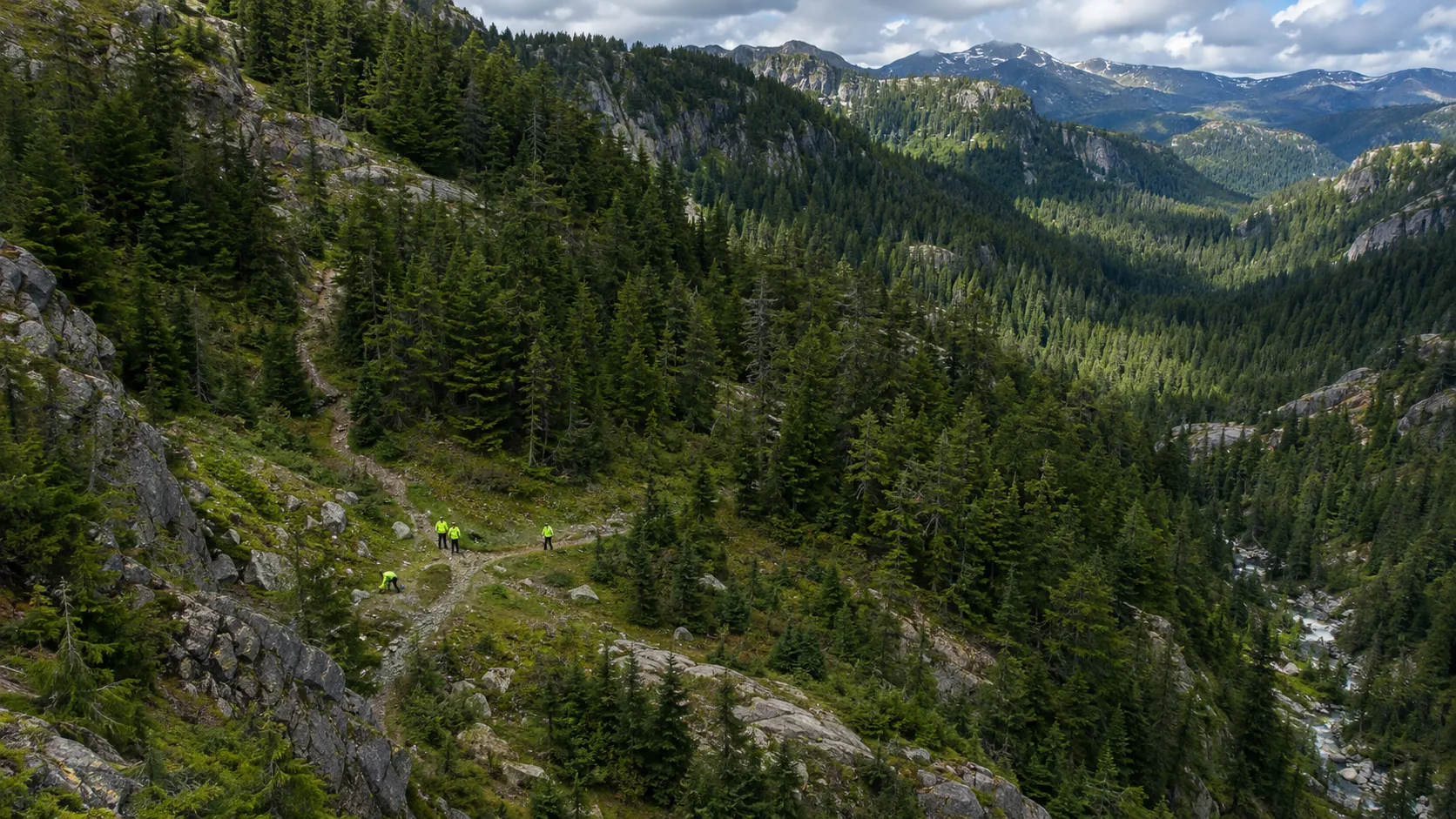
The tasks can be divided into two levels: station overview and key points. Full-view images illustrate the relative positions of roads, surroundings, and facilities, while partial images are used to present details that need review. If mountains, tree crowns or buildings block the view, the area should be marked as unobserved and arrangements should be made for verification from another angle or on the ground. The point number, shooting direction, time and original file are retained in the record.
Periodic inspections should also consider seasonal changes. Vegetation growth, snow cover and different lighting will change the appearance of the picture. When reshooting, you should try to maintain similar conditions; if it cannot be maintained, write down the differences in the comparison record. After discovering suspected changes, first check the previous images and on-site construction records before deciding whether to send personnel to deal with it to reduce repeated trips.
The delivered content includes station coverage tables, road and surrounding images, abnormal point maps and review status. The next round of tasks will use the same number to make it easier to determine whether the problem has expanded or has been solved. YH-2000 is responsible for continuous collection over a large area, and the quality of inspections depends on mission design, image comparability and the consistency of ground feedback.