
Post-disaster road reconnaissance and rescue channel assessment plan
After a heavy rain, landslide or fire, the site needs to know as soon as possible whether the road is passable, whether bridges, culverts and slopes are damaged, and which areas are still at risk of water accumulation or rockfall.
After a heavy rain, landslide or fire, the site needs to know as soon as possible whether the road is passable, whether bridges, culverts and slopes are damaged, and which areas are still at risk of water accumulation or rockfall. Aerial reconnaissance should set priorities around these issues, first form an overview of the area that can be located, and then take additional photos of key points. Images can only provide clues for judgment, and actual traffic conditions must still be verified by ground personnel.
YH-2000 can undertake route observation over a larger range. Its maximum payload of 15 kg and maximum endurance of 600 minutes are helpful for evaluating observation equipment and continuous coverage arrangements. After arriving near the scene, YH-3000 can undertake short-distance, fixed-point local review. Multi-rotor missions in particular need to calculate time according to load: about 30 minutes for a 30 kg load, about 18 minutes for a 60 kg load, and about 55 minutes for no load is another condition.
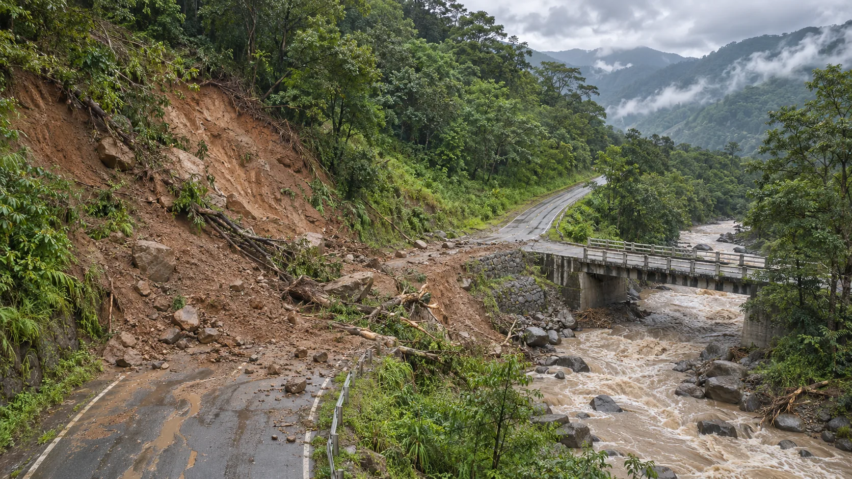
At the beginning of the mission, first check the main access roads and safe take-off and landing areas, and then arrange bridges, culverts, slopes and blocked road sections according to the needs of the rescue team. Each key image is accompanied by time, coordinates, shooting direction and a brief description. For suspected cracks, landslides or water damage locations, use ground verification marks; for areas blocked by trees or terrain, clearly indicate that they have not yet been observed.
The division of tasks between the two platforms must be consistent with on-site communication and personnel movement. The wide-area image is used to determine the area that needs to be viewed again, and the local image is used to supplement the details; if the original image cannot clearly identify the target, the height, angle, or shooting time should be adjusted instead of taking the blurred screenshot as a conclusion. The cameras, power supply, installation interface and data return required must be verified according to the actual configuration.
Finally, an area map, a point list and the corresponding original images are delivered. The area map distinguishes passable, suspected blocked and unconfirmed, and the point table records the ground review results and update time. In this way, the range observation of YH-2000 and the close-range review of YH-3000 can serve the rescue channel selection without stopping at a single aerial photography display.