
Post-earthquake reconnaissance plan around the resettlement area
Post-earthquake temporary resettlement areas require ongoing awareness of the status of access roads, open space usage, and nearby facilities.
Post-earthquake temporary resettlement areas require ongoing awareness of the status of access roads, open space usage, and nearby facilities. The reconnaissance mission should start from the problem list of the person in charge of the scene to determine which road sections need to be updated and which locations still lack viewing angles, and then arrange image collection. Aerial footage provides location and appearance information, but building structure and ground safety must still be verified by professionals.
YH-2000 has a maximum payload of 15 kg and a maximum flight endurance of 600 minutes, and can be used to evaluate larger area observations. The YH-3000 multi-rotor can undertake partial review at locations suitable for takeoff and landing. Its flight time with a load varies with the weight of the equipment: about 30 minutes with a load of 30 kg, about 18 minutes with a load of 60 kg, and about 55 minutes without a load. The cameras, power supply and backhaul of both platforms need to be confirmed according to the task configuration.
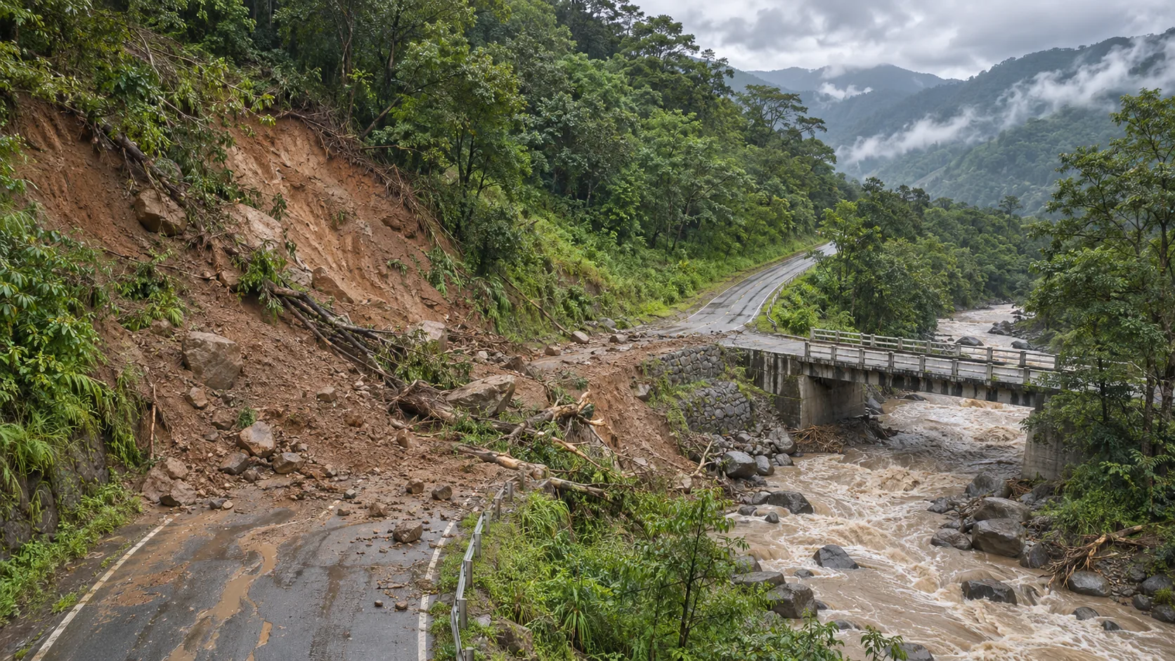
In the first round, a comprehensive map of the resettlement area and surrounding roads will be established, indicating the entry direction, temporary passages and locations where the view is blocked. Subsequent tasks will focus on updating new obstacles, water accumulation, or changes in the appearance of facilities. For areas that cannot be judged through images, keep the labels for verification, and do not write problems that are not shown on the screen as non-existent.
The wide area picture of YH-2000 and the close range picture of YH-3000 use the same set of point numbers. If re-shooting is needed somewhere, explain the reasons and the questions you want answered; if ground personnel have already verified it, associate the results with the images to avoid repeated dispatches. Record the collection time for each flight to ensure that rotating crews know what information is still valid.
Deliverables include area maps, point images, unconfirmed items and manual review status. On-site personnel can check the changes and the latest update time by point, and decide whether a repeat flight is needed in the next round. The two models are used for observations at different scales. What really helps synergy is the traceable information on the same picture, rather than the video length of a single flight.