
Forest fire perimeter situation and access route reconnaissance plan
Roads, tree lines and personnel gathering locations around forest fires may change depending on on-site conditions.
Roads, tree lines and personnel gathering locations around forest fires may change depending on on-site conditions. Aerial reconnaissance should collect information around the perimeter situation and accessible channels, first clearly observing the boundary, the time period that needs to be updated, and the location of the ground team. The picture can help commanders identify areas that need review, but fire judgment and personnel deployment must be combined with on-site professional information.
YH-2000 has a maximum payload of 15 kg and a maximum endurance of 600 minutes, making it a candidate platform for larger-scale observations. YH-3000 multi-rotor is used for local supplementation near safe take-off and landing points. The mission time depends on the load: about 30 minutes with a 30 kg load, about 18 minutes with a 60 kg load, and about 55 minutes without a load. Both models need to be approved based on actual equipment, meteorological and communication conditions.
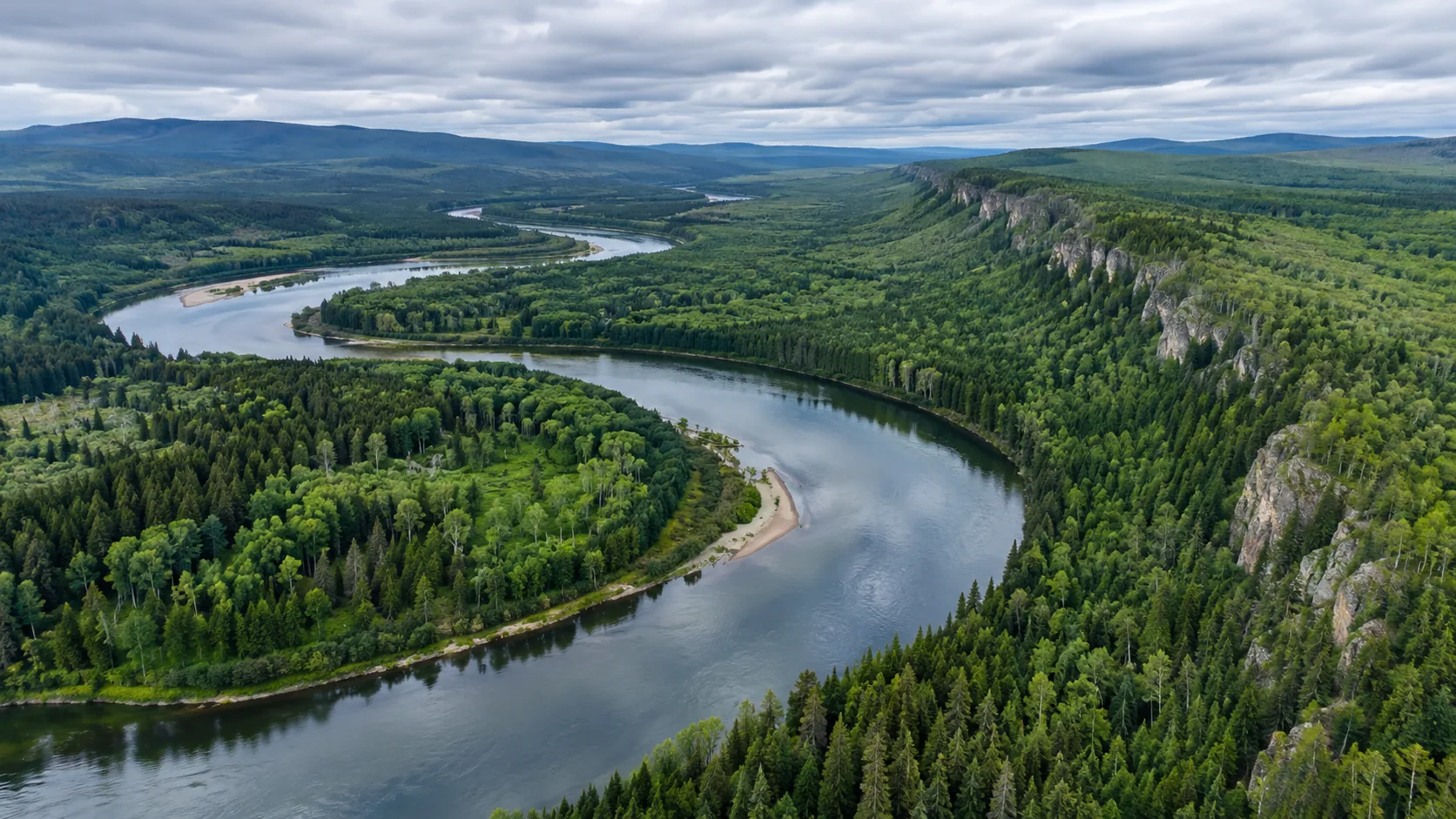
The mission map separates peripheral roads, possible blocked intersections, accessible locations, and unobserved areas. The YH-2000 provides a continuous regional background; if a certain intersection or facility requires a clearer close-up picture, then evaluate whether to arrange additional shooting with the YH-3000. Smoke, tree canopy, and terrain can limit legibility, and a single screenshot cannot confirm that a pass is available.
Each time the image is updated, the acquisition time, position, direction and image quality are recorded and correspond to the previous round of annotation. If the on-site wind direction, smoke or control range changes, mission personnel should first update the observation boundaries and take-off and landing arrangements. Important clues are handed over to the on-site person in charge for review, and areas that cannot be judged remain unconfirmed to avoid vague expressions used by different teams.
The results include peripheral area maps, entry channel point tables, original images and review records. The map distinguishes areas that have been observed, areas to be re-examined, and areas that cannot be discerned, so that the next round of reconnaissance has a clear target. YH-2000 is responsible for range observation, and YH-3000 supplements local information; the value of both is that on-site changes are time-marked, can be reviewed, and can be handed over to ground personnel for use.